
CONNECT
Design the site network using 4G, 5G, antennas, multi-carrier links, Konvertek bonding, and optional satellite or partner-enabled private wireless.
Ingenieum Resilient Visual Intelligence
A connectivity-first platform for remote, industrial, and mission-critical environments. Ingenieum combines resilient multi-network connectivity, Konvertek bonding, compatible camera and drone feeds, browser-based monitoring, and project-specific intelligence modules into one deployable field solution.
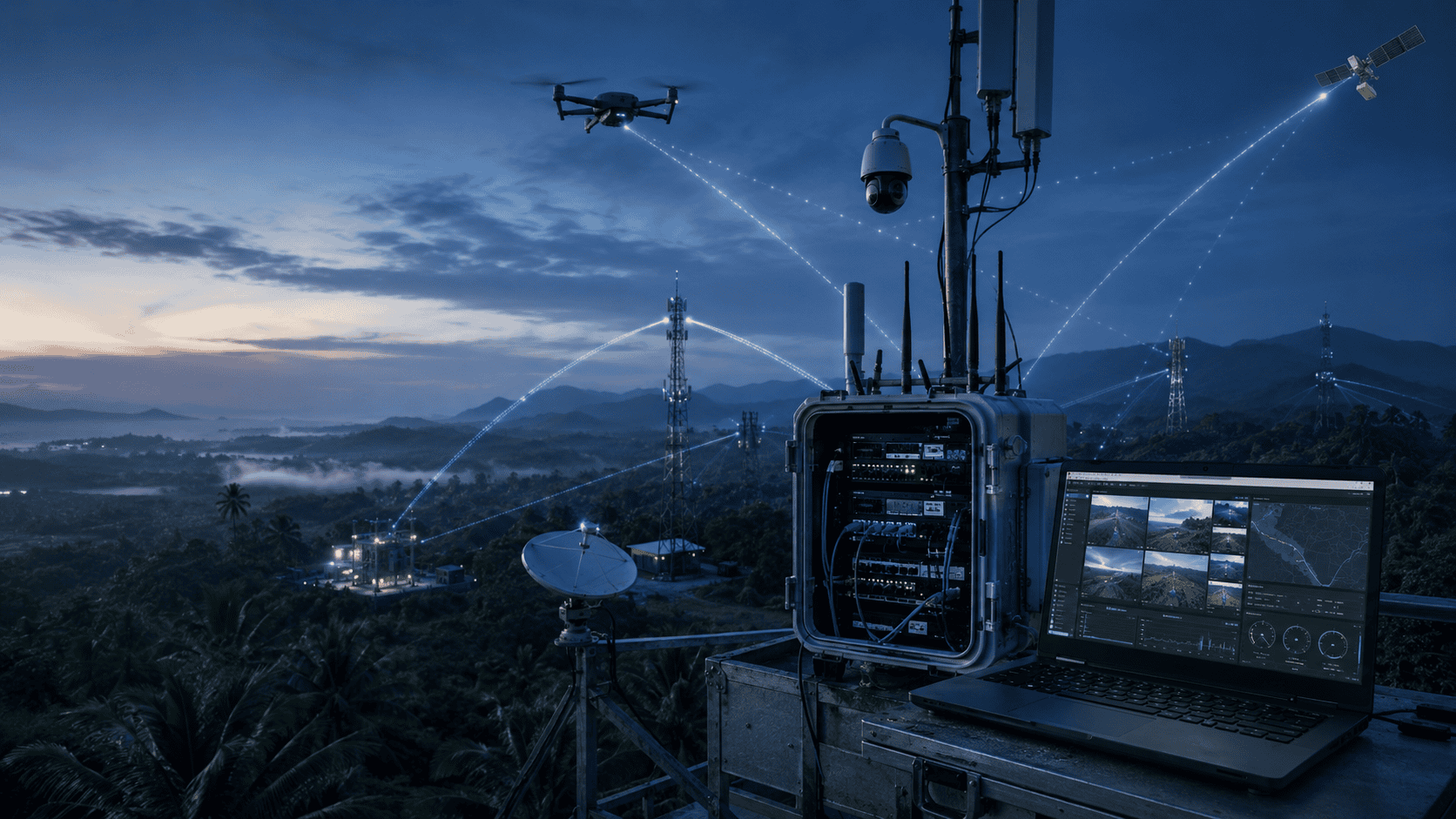
The Flagship Idea
Remote operations often fail because network connectivity, cameras, streaming, dashboards, and analytics are purchased as separate components.
A router may provide internet access but not resilient video. A camera may capture the site but not deliver a usable remote view. A drone may transmit a feed but not integrate with the customer's monitoring environment. A dashboard may display information but still depend on an unstable field connection.
Ingenieum Resilient Visual Intelligence brings these layers together through one project architecture: field inputs, resilient connectivity, live video, monitoring, intelligence, and authorised users.
Platform Architecture
Ingenieum Resilient Visual Intelligence is modular by design. Customers can start with connectivity and live video, then expand into intelligence and managed operations when required.
Design the site network using 4G, 5G, antennas, multi-carrier links, Konvertek bonding, and optional satellite or partner-enabled private wireless.
Deliver compatible fixed-camera, drone, bodycam, and field video feeds to authorised users through low-latency browser-based monitoring views.
Add telemetry, GIS layers, rule-based alerts, object detection, tracking, geolocation evaluation, and reporting for defined missions.
Solution Modules
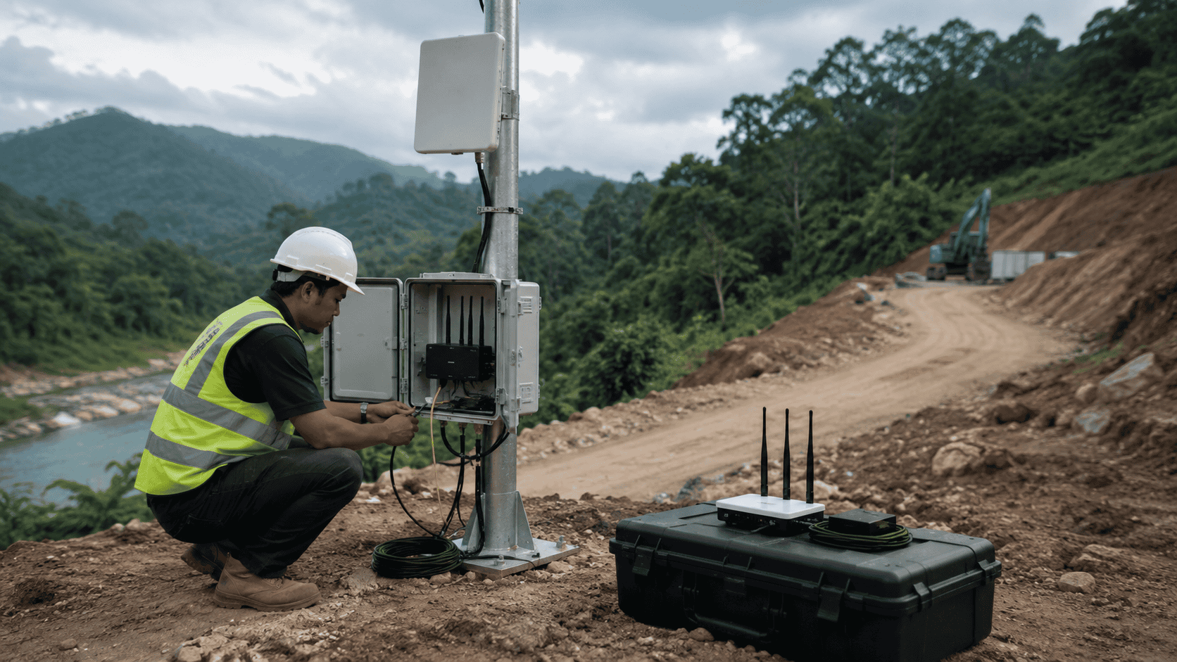
Resilient field connectivity using site assessment, 4G/5G routers, antennas, multiple mobile networks, Konvertek bonding, Starlink, VSAT partner options, and field power or enclosure planning.
Explore Remote Connectivity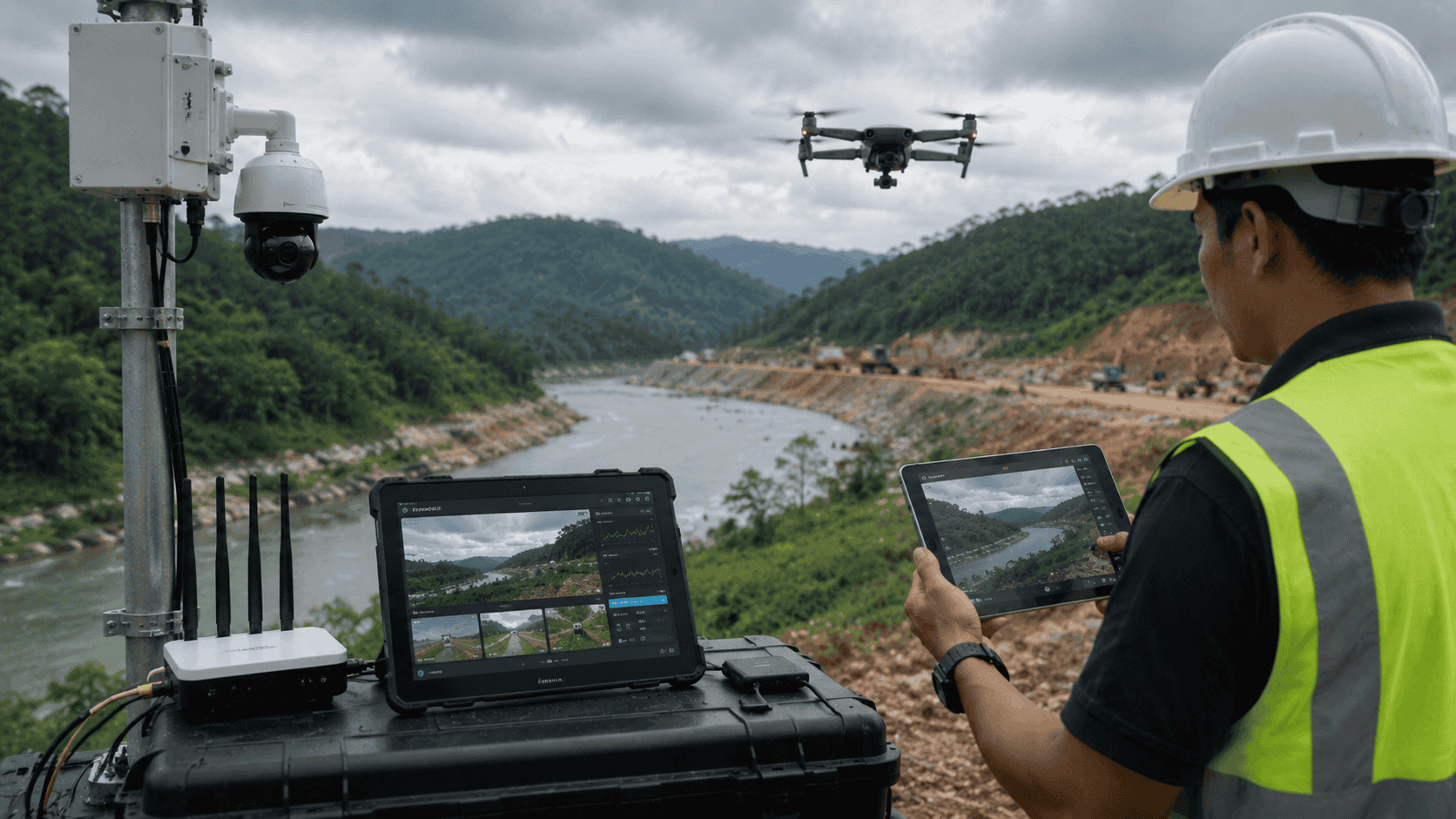
Low-latency live video and browser monitoring for compatible IP cameras, drone feeds, mobile encoders, selected bodycams, assigned user views, and project-specific recording.
Explore Video Streaming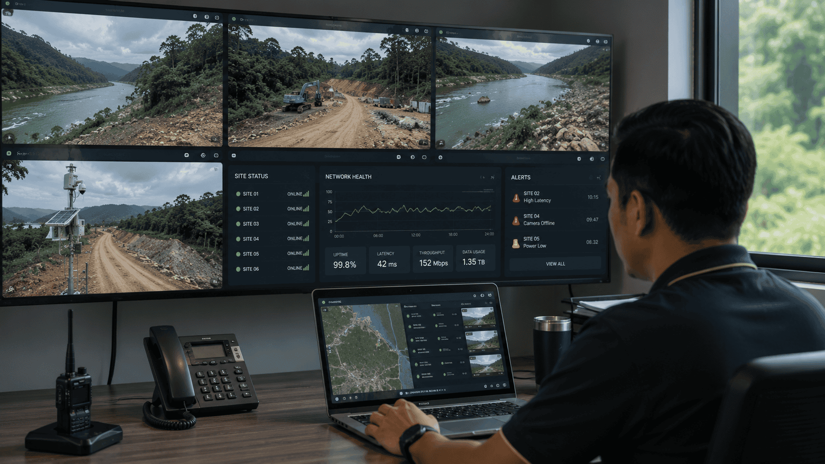
Project-specific operational intelligence, including telemetry, GIS, rule-based alerts, object detection, tracking, geolocation evaluation, event review, and customer-system interfaces.
Discuss Pilot Scope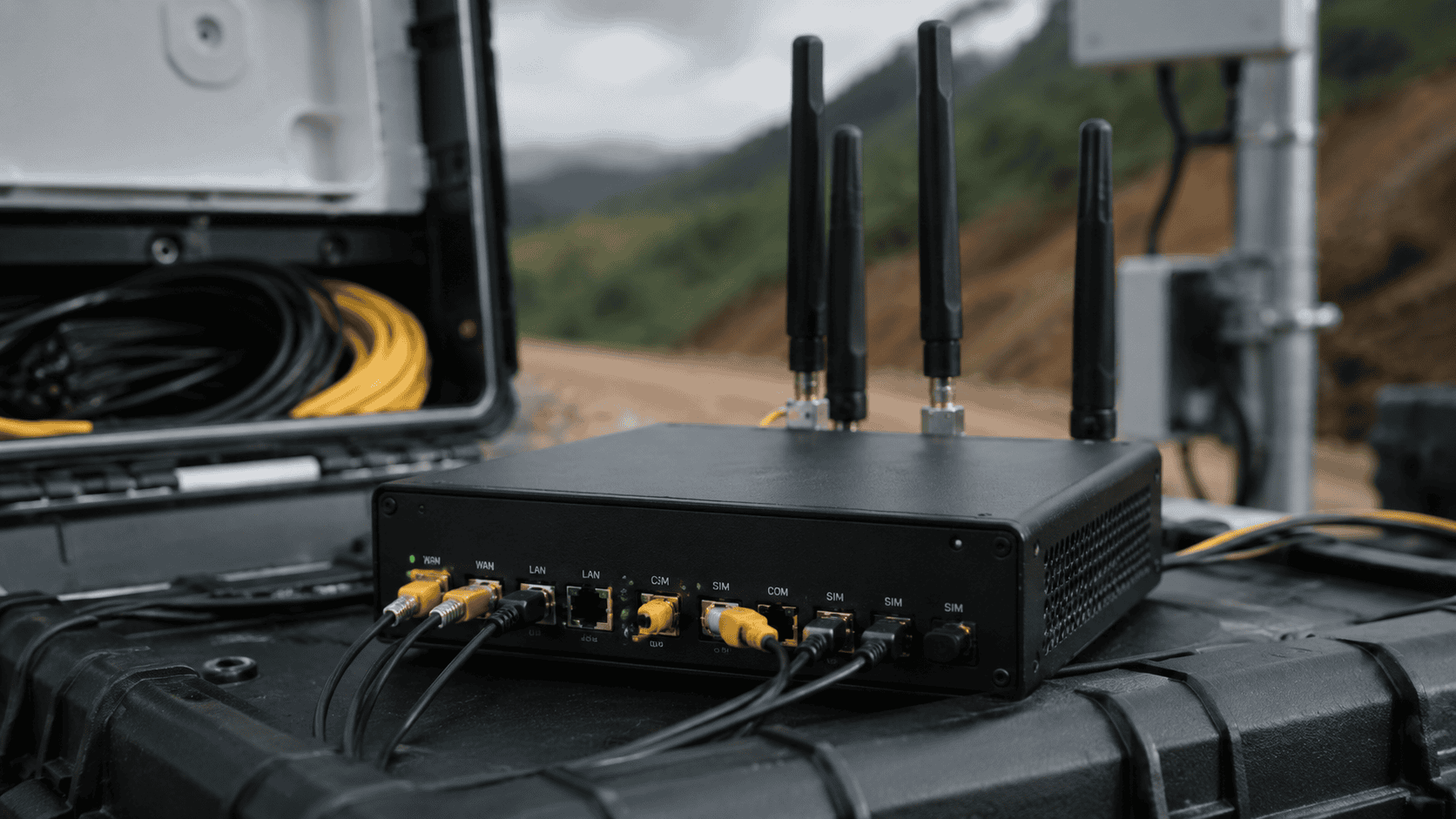
Ingenieum-Owned Enabling Technology
Konvertek is Ingenieum's multi-SIM ISP bonding system for combining compatible telco broadband links into one bonded connectivity path where the project requires stronger bandwidth availability or improved session continuity.
Connectivity before complexity. A live video or monitoring platform is only useful when the field connection is designed around actual signal, terrain, backhaul, and operational requirements.
Current Capability
Ingenieum's flagship platform builds from existing strengths in remote connectivity, Konvertek bonding, low-latency video, and browser-based monitoring.
Site requirement assessment, connectivity architecture, equipment selection, and deployment recommendations.
Supply and integration of field routers, outdoor antennas, directional antennas, and related connectivity components.
Network design using multiple mobile providers to reduce single-carrier dependency where site conditions allow.
Multi-SIM ISP bonding for compatible broadband links within the CONNECT layer.
Near real-time video delivery from compatible fixed cameras and drone feeds to browser-based monitoring views.
Field assessment, staging, configuration, commissioning, training, and ongoing support according to project scope.
Why Ingenieum
The value is not just in one device or one dashboard. The value is in making mixed field technology work together where ordinary broadband and standard cloud assumptions may fail.
Ingenieum establishes the field network path before adding advanced software, dashboards, or analytics.
The architecture can combine suitable mobile networks and alternative backhaul instead of depending entirely on one carrier.
The objective is to support compatible existing cameras, drones, encoders, and sensors where practical.
The live operational path remains usable independently of the analytical or AI-processing path.
Local engineering matters for signal assessment, telco selection, mounting, access, commissioning, and ongoing support.
Customers can start with one site and a small number of feeds, then expand into recording, GIS, alerts, AI, or managed operations.
Priority Use Cases
For distributed assets where operations teams require better field visibility, connectivity resilience, and inspection evidence.
For project sites where temporary connectivity and visual monitoring support progress, safety, access, and site coordination.
For remote data-collection locations requiring stronger communication links and visual verification.
For exercises, seasonal readiness, and operational deployments requiring portable connectivity and real-time field visibility.
For projects that need to deliver compatible live feeds from different source types to authorised browser users.
For tower sites, network facilities, and difficult-access locations requiring remote monitoring and resilient connectivity.
Commercial Entry Path
Ingenieum recommends a controlled pathway before full deployment. Each stage produces clearer requirements, measured results, and a more reliable production design.
Start Here
Before selecting hardware, software, or advanced analytics, the site and mission need to be understood clearly.
Indicative Assessment Range
Pricing depends on number of sites, travel, survey complexity, network design, video sources, security requirements, and integration scope.
Book a Field Readiness AssessmentSuggested Pilot
A structured pilot designed to test the complete field-to-browser path before committing to a wider deployment.
Capability Status Guide
Ingenieum separates available capabilities from integration options, pilot-stage items, and partner-enabled modules.
Remote connectivity consultancy, 4G/5G routers, antennas, multi-telco setup, Konvertek bonding, low-latency live video, browser monitoring, fixed-camera integration, drone video-feed integration, and local deployment support.
Starlink, recording and archive, selected bodycam feeds, cloud or on-premises components, GIS, third-party interfaces, additional field power, and rugged enclosures.
VSAT, private LTE/5G, operational drone services, cybersecurity assurance, specialised AI models, enterprise command-centre integration, and large agency interfaces.
Responsible Claims
Ingenieum designs each solution according to actual site and project conditions. Results may vary based on carrier coverage, network congestion, antenna placement, weather, terrain, satellite-service conditions, camera configuration, power availability, third-party platforms, regulatory approval, and customer infrastructure.
FAQ
It is Ingenieum's flagship architecture for combining resilient field connectivity, live video, browser-based monitoring, and selected operational-intelligence capabilities for remote and critical operations.
Live video, sensor feeds, and dashboards cannot operate reliably when the field connection is unstable. Ingenieum begins with the site, available networks, antennas, backhaul, and resilience requirements.
It can include both. Ingenieum provides the solution architecture, integration, and operational delivery layer. Some components may be Ingenieum technology, while others are compatible third-party or partner systems.
Konvertek is Ingenieum's multi-SIM ISP bonding technology within the CONNECT layer. It supports compatible multi-link connectivity deployments.
Potentially, yes. Compatibility depends on protocol, encoder, API, network, security, and operating requirements. A compatibility assessment is completed before final design.
Yes. Starlink and VSAT can be included as optional backhaul layers depending on service availability, mounting, power, priority-data requirements, partner scope, and project conditions.
Private wireless can be included through qualified technology and spectrum partners. It requires project-specific RF design, equipment selection, and regulatory consideration.
Ingenieum primarily supports the connectivity, video-ingest, and monitoring architecture. Operational drone services and flight approvals are handled through appropriately qualified parties where required.
AI may be included in a defined pilot or project module. The use case, dataset, target classes, false-alarm tolerance, and validation method must be agreed before deployment.
A typical field video pilot may take four to eight weeks. The recommended structure includes discovery, staging, deployment, live testing, and reporting.
A standard field video pilot may range from approximately RM120,000 to RM180,000. Simpler or more complex pilots may fall outside this range depending on site and integration scope.
The customer may proceed to permanent deployment, multi-site rollout, managed service, annual support package, or project-specific enhancement.
Talk to Ingenieum
Whether the requirement begins with a remote site, a live camera, a drone feed, or a critical field operation, the first step is to understand the site and mission.